Saturated soil, frozen ground, and a massive spring melt have all played their part in the continuing flooding, highways falling apart, highway closures and travel disruptions in Sunset Country.
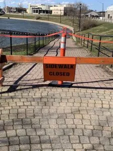
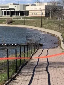
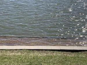
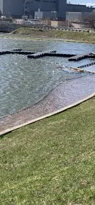
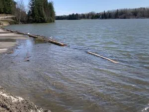
I captured a few images late yesterday to share with you of the very high water level on the Wabigoon River at the Duke Street Dock area which has forced the closure of a large portion of the walkway. The water, which has changed the walk area in to a wading area must be at least 6 inches deep. I’m only guessing but many I’ve spoke to have said they have never ever seen the water that high and forcing the closure. And yet the dams are wide open. The amount of very fast moving water passing through them is incredible.
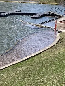
Skene Landing has also been affected.
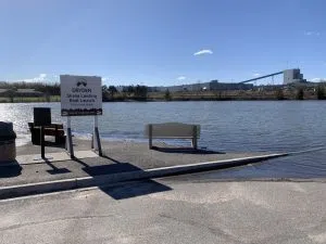
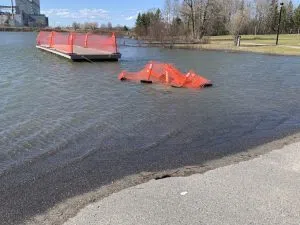
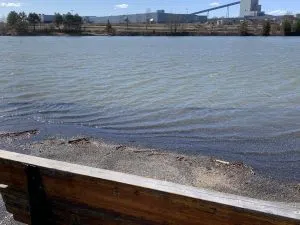
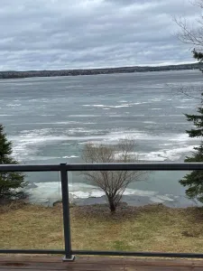
Thunder Lake – Photo by Ryan Graham – “The water is almost level with the bottom of the lawn. The lake level is about 2 feet higher than normal.”
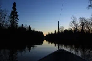
Meanwhile it has been “boating home on Haukeness Road” for Julia Kocis who submitted this picture.
What are you seeing? Show us here: https://www.facebook.com/CKDR.Dryden/posts/5084428644938787
Submit your pictures anytime to mccarthy.richard@radioabl.ca


